


Geological maps and the Alpine structure
In order to understand the geological evolution of a given area, detailed geological maps must be established with rock samples collected and studied in laboratory. These maps, at a scale of 1:25’000 or even 1:10’000 contribute to the development of more synthetic maps showing the position of nappes, or tectonic units, of entire regions. Nappes are coherent ensembles of folded rocks having a common history, separated by thrust faults.
|
|
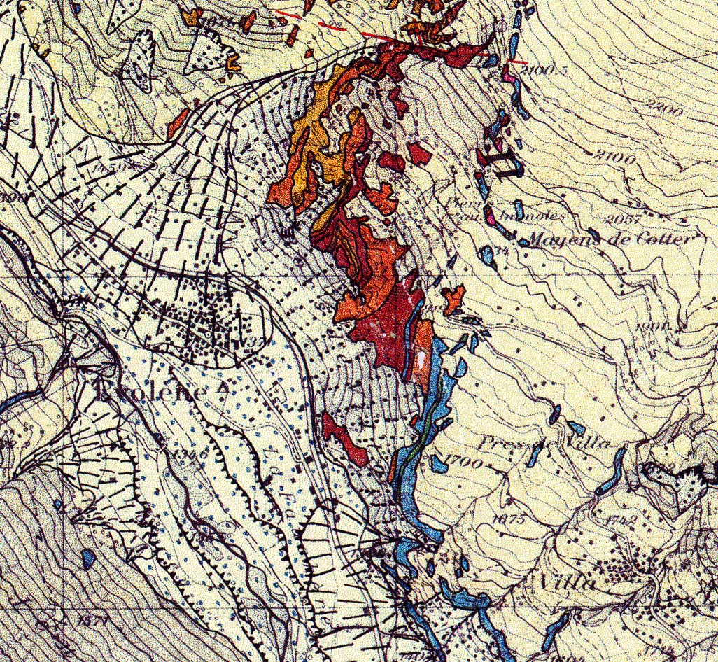
Detail of a field map of the Evolène Region by Allimann at a scale of 1:25’000. |
|
|
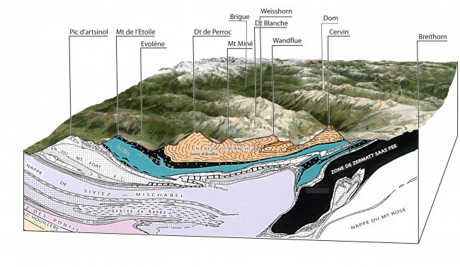
This larger scale map shows the tectonic units in the Val d’Hérens at a scale of 1:100’000 as presented in the 3D model by Swisstopo. Maps like this one are used to create cross-sections, enabling a better comprehension of nappe superposition and their deformation in space and over time. |
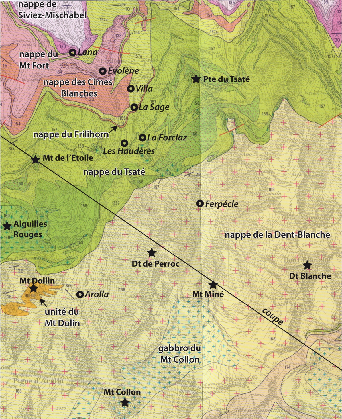
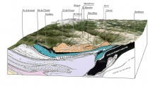
Thanks to the cross-section by Lausanne University geologists (Escher et al. 1988) between the Breithorn and the Pic d’Artsinol, the complexity of the Val d’Hérens nappe structure has been revealed. Mapping of the whole mountain belt also allows the extrapolation of the underground rock structure to a depth of ten kilometres, but also up to several kilometres above the surface.
The following Val d’Hérens nappes are listed and defined, beginning from the top to bottom and from south to north:


 |
 |
 |
 |


+41 (0) 27 283 40 00
Place du Clos Lombard 6
1983 Evolène